A walk up
Gyrn Goch ~ February 2007
During February 2007, Eric Jones went for a hike up
Gyrn Goch taking photographs as he went for the benefit
of the users of nantlle.com.
For those of you who have never been up, here is the
journey in pictures from the bottom to the summit:
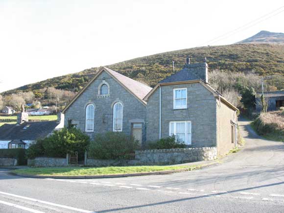
Image: The old Seion Chapel, Gyrn
Goch.
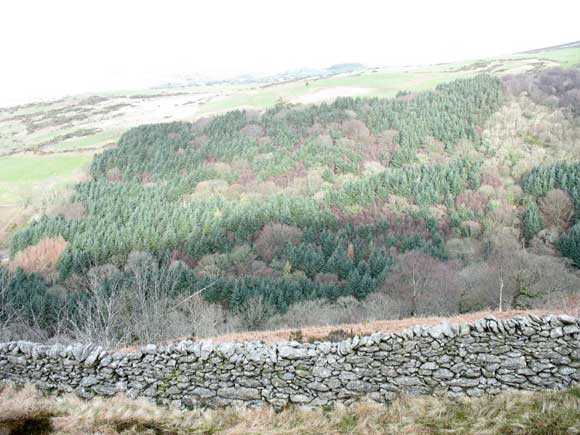
Image: Cwm-gwared tree plane.
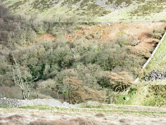
Image: Cwm-gwared tree plane from
the slopes of Gyrn Goch.
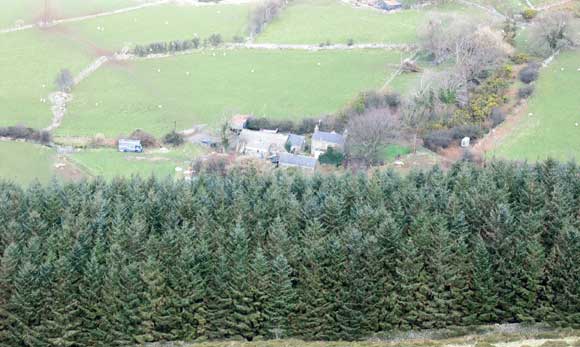
Image: Cwm-gwared farmhouse, Gyrn
Goch.
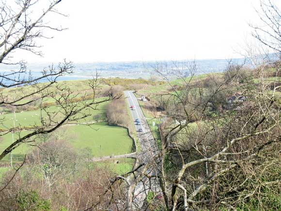
Image: Caernarfon Road from the
slopes of Gyrn Goch.
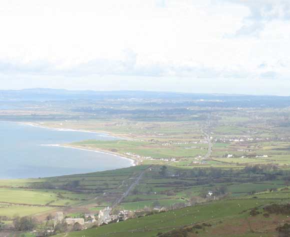
Image: Clynnog Fawr and 'Trwyn Maen
Dylan' from the slopes of Gyrn Goch.
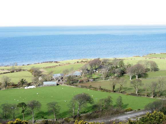
Image: Tyddyn Hen Farm, Gyrn Goch.

Image: An old ruin on the slopes
of Gyrn Goch.
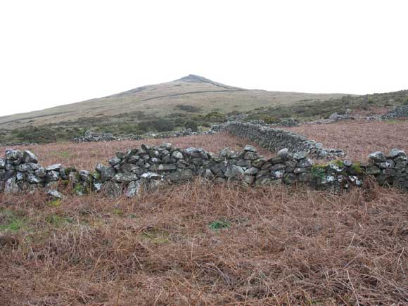
Image: Looking toward the summit
of Gyrn Goch.
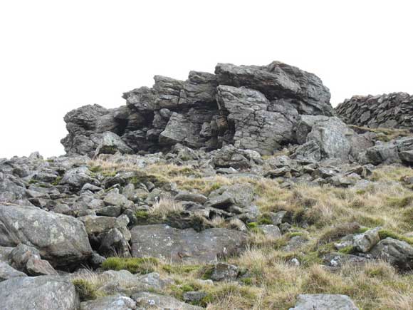
Image: Approaching the summit of
Gyrn Goch.
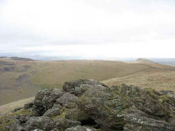
Image: The summit of Gyrn Goch.
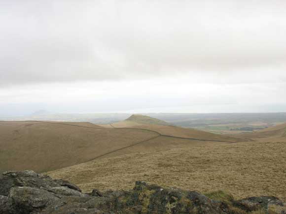
Image: Pen-y-Caer from the summit
of Gyrn Goch.
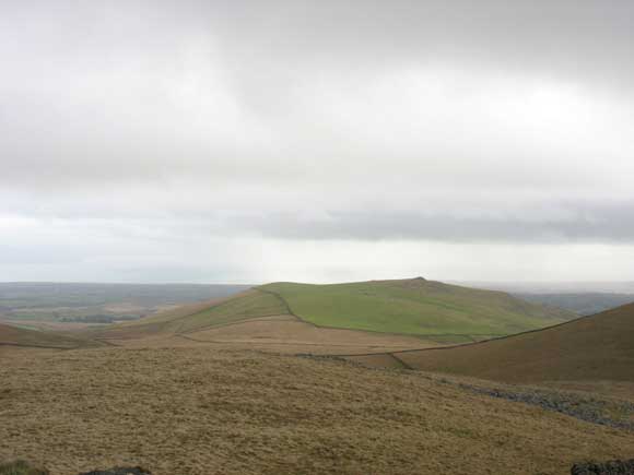
Image: Moel Bronmiod from the summit
of Gyrn
Goch.
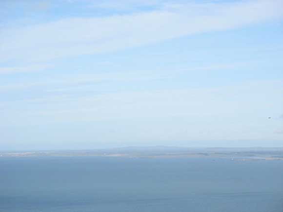
Image: Caernarfon Bay and West Anglesey
from the summit
of Gyrn Goch.
Many thanks to Eric Jones for
the photographs (and for the journey!). |